This time i decided to loop to the east of the Cairngorm. Aviemore-Ryvoan-Larig an Laoigh-Linn of Dee-Mar-Invercauld-Loch Builg-Tomintoul-Dorback and the Braes of Abernethy.
And back. Hopefully.
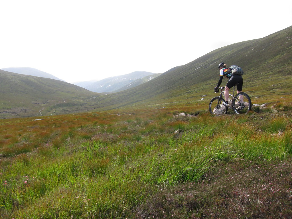
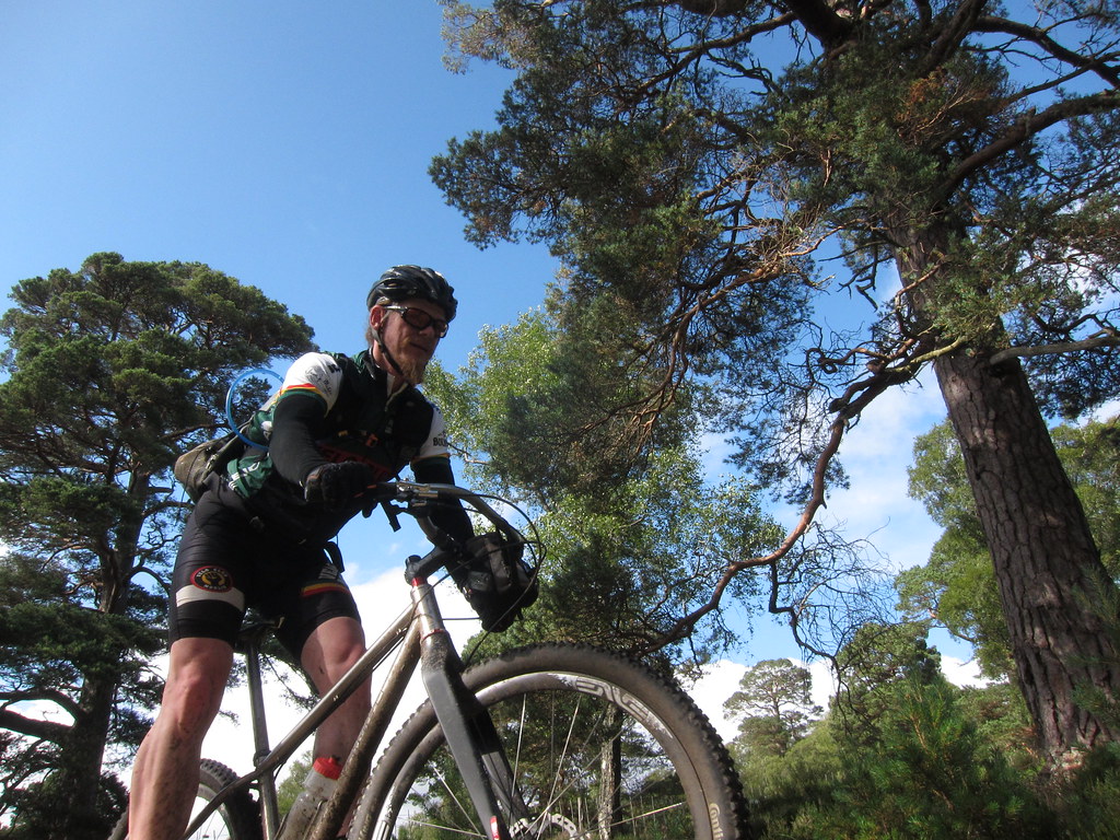
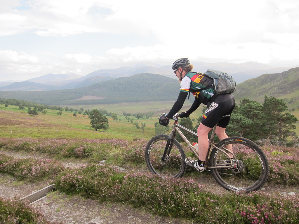
It is a long way, not so much in terms of absolute distance, more that the trails can be tough and the climbs relatively big. Maul was the steed of choice. This pure xc rig is such a profound pleasure to ride and it just eats up miles.
I had planned to leave late, bivi somewhere near the start of the loop and hit the trails early. However, the weather once again decided to throw a curve ball. The deluge that spread up from the south was moving north at a rate that would have me arrive in rain, spend an uncomfortable night hoping i didnt body-bag down a water run off and resurface no doubt sodden and sleepless. That would be if i made the A9 after a long day and in bad conditions.
Hmmm. Decision made: i stalled and left early the next day, which went well, but it meant my ride started at nearly 11am. My calculations and hairy eyeballing of the map led me to believe i would be looking at 10 and a half to 11 hours of riding. If the weather was ok. At about hour 7, i realised i had made a mistake. I had followed dubious sign posting from Invercauld, rather than my out of date map and my nose and what i could see didnt marry up to the mental image i had from the map. After looking at the map and not really recognising the terrain and repeating this several times over a solid half hour i accepted that i had a problem.
I was lost.
The trails i was on were not on my map and if i spent any serious time trying to look at said map i was literally being digested where i squatted by midge. No good. No good at all. So i made the call. The call i had hoped i would never make.
I like to think that my mountain craft is reasonable. If that doesnt get me through, i'm pretty damn pertinacious. This time however, i had at least 3 hours to go, 2 hours of daylight max, a small head torch and 'issues' with stopping to route find. When i came into a mobile phone window i called trina and let her know that i was lost, my last known location was Auchtaven and although i pretty much knew where i was i couldnt find the link to the drove road to Loch Builg i wanted to take. As such, i wasnt going to be home any time soon, but i was in one piece, had food, warm clothing and....
....then the signal went. Trina has known me forever and is very sensible. I knew she wouldnt worry, but i still disliked the fact i had felt the need to call and cause some anxiety. Midge be damned, i stopped, orientated my map properly and worked out that i needed to cross some farm land to join the trail i needed. So be it. In my mind, i scanned backwards and realised that a signpost i had followed had not been a right of way path sign to Loch Builg, but an estate walking route sign. This had flipped me through 45 degrees and led to me going east of a hill, rather than west and as the miles went by the size of the error magnified. This had been compounded because my map was old and didnt have these trails marked. This resulted in my thinking i was on the correct route until i was a good way off course. Ah well.
I had plenty of time to ponder the mistake as i struggled up the trail on the flank of Carn Liath. Right after i sped out of Tomintoul and joined the trail to Dorback Lodge, the night fell. I had some trails to find to get back to Ryvoan and then onto Aviemore. However, my willingness to stop and be ravaged by the noseeums had gone. I was literally breathing the midge in if i dropped my pace and any error of route finding would have caused a serious tantrum.
I bailed and took the road towards Nethy Bridge and then back via Coylumbridge. The estimated 20 ish miles of road in the dark after a long day in the saddle was harsh, but closing the loop and finishing a great day in the hills was worth it.
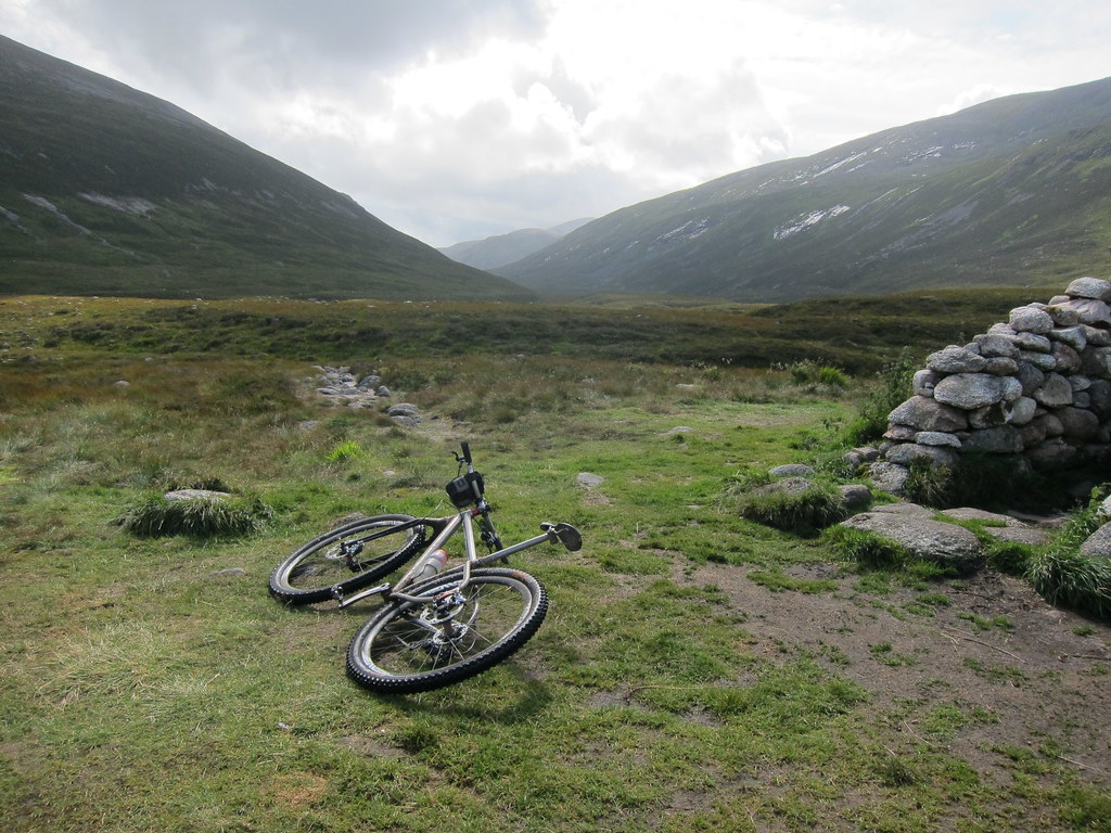
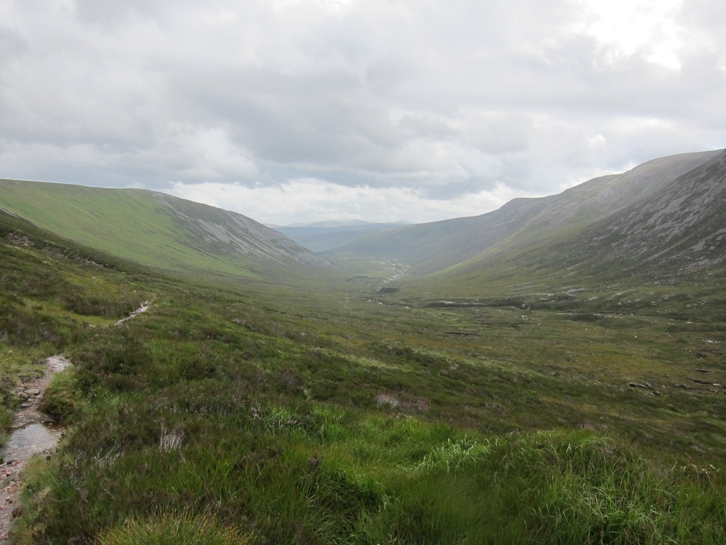
Photos: i struggled with camera settings. The light was flat and the day overcast. However, i did escape any precipitation. The trail down the Larig an Laoigh was washed out - a great trail diminished. The bike got a shoeing. The grit is phenomenal in that area and as it built up it wore a notch in the back of the fork - small but annoying. The drive chain needs a full strip and clean. But overall it was a potent machine to travel on. If i had time id mess around with these photos and try to bring out some of the fine views, but i'm not even sure i have the skills to salvage anything. Still, enjoy and dream of big days in open, wild land.


2 comments:
Treks Himalaya an indoor outdoor trekking and tours operative company takes you that further way to guarantee you has a memorable trip that you have been dream with Treks Himalaya is part of your choice. We have 3 days to 30 days your Nepal trekking trip to choose but it depending of your timetable. We always respect our duty to constantly your Nepal holiday. Whether you are looking for a quiet gateway, a memorable outing with a family or an exciting nature. We offer you with the best progressive information and itinerary leading focused and modified as per your requirements. We specialize in organize Nepal travel activities excursion such as:- Trekking, Helicopter Tour, Peak Climbing, Mountain Flight, Honeymoon Tour, Sightseeing, Rafting, Jungle Safari, Pilgrim’s Tour, Hotel Reservation, Air Ticket, Tibet and Bhutan Tour many more your vacation desire.
http://www.trekshimalaya.com
http://www.trekshimalaya.com/annapurna-panorama-trekking.php
http://www.trekshimalaya.com/annapurna-base-camp-trekking.php
http://www.trekshimalaya.com/ghorepani-trekking.php
http://www.trekshimalaya.com/helicopter-tour-in-nepal.php
http://www.trekshimalaya.com/manaslu-trekking.php
http://www.trekshimalaya.com/mardi-himal-trekking.php
http://www.trekshimalaya.com/annapurna-trekking.php
http://www.trekshimalaya.com/everest-trekking.php
http://www.trekshimalaya.com/langtang-trekking.php
Thanks for sharing, nice post! Post really provice useful information!
FadoExpress là một trong những top công ty chuyển phát nhanh quốc tế hàng đầu chuyên vận chuyển, chuyển phát nhanh siêu tốc đi khắp thế giới, nổi bật là dịch vụ gửi hàng đi đài loan và dịch vụ gửi hàng đi canada uy tín, giá rẻ
Post a Comment